Client
Bundesamt für Seeschifffahrt und Hydrographie (BSH)
Asset Type
Offshore Wind Farm
Location
German Sector, North Sea
Client challenge
The Federal Maritime and Hydrographic Agency (Bundesamt für Seeschifffahrt und Hydrographie, BSH) is responsible for the regulatory oversight and site characterisation of offshore wind energy areas within the German Exclusive Economic Zone (EEZ). As part of the development programme for a series of offshore wind farm areas in the German sector of the North Sea, BSH commissioned a multi-campaign geophysical survey programme comprising high resolution sub-bottom profiler (SBP) and multi-channel seismic (MCS) acquisition across the designated development areas.
BSH required an experienced client representative to be embedded within the survey operations and an independent project management function to oversee contractor performance, data quality, and programme compliance. Alongside this, a means of providing BSH with clear and continuous operational visibility – covering vessel progress, acquired data status, metocean context, and daily reporting – was needed throughout the duration of the surveys, accessible remotely by the onshore project team.
How We Help
Vysus provided an integrated package of offshore client representative, project management, and digital monitoring service IRIS tailored to the BSH survey programme. An experienced Vysus geophysicist was mobilised as the offshore client representative aboard the survey vessel for each campaign, acting as BSH’s eyes and ears throughout data acquisition.
The Vysus scope of services encompassed three integrated workstreams:
- Offshore Client Representative: a qualified Vysus geophysicist embedded aboard the survey vessel throughout each campaign, conducting real-time QA/QC of SBP and MCS data acquisition, monitoring survey line compliance, assessing data quality against BSH specification, and maintaining the daily operational record through DPR and HSE reporting;
- Onshore Project Management: a dedicated Vysus project manager coordinating contractor interface, programme oversight and progress reporting, providing BSH with structured and consistent project governance throughout the multi-campaign programme;
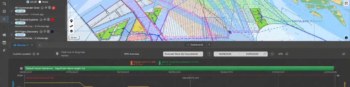
- IRIS Operations Monitoring: the IRIS web mapping application was deployed as the project’s central monitoring platform, providing BSH with real-time project vessel and SIMOPS tracking, live progress visibility against the survey plan, access to hindcast and forecast metocean conditions at the survey location, and a structured repository for all DPRs, HSE reports, and preliminary data deliverables uploaded during and after each campaign.
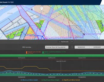
- IRIS provided BSH with an interactive web map displaying the survey vessel position updated in real time, overlaid on the planned survey line grid. Survey line completion status, repeat coverage, and data quality flags were updated as the campaign progressed, giving the onshore team immediate visibility of where acquisition stood at any given moment.
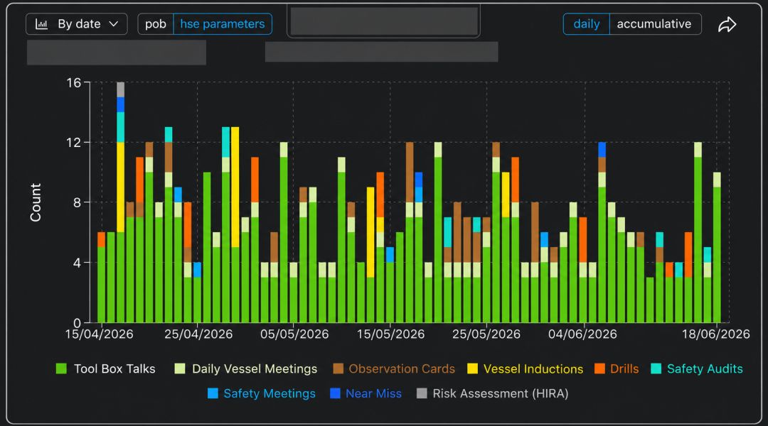
Daily Progress Reports, QA/QC assessments, and HSE observations were uploaded to IRIS directly by the offshore client representative, maintaining a contemporaneous and auditable operational record accessible to the BSH project team onshore throughout the surveys. Upon completion of each campaign, the client representative can complete and issue their end of job OCR report directly in the system. Once made available, acquired geophysical data layers and report documentation were ingested into IRIS, building a permanent and structured archive of all data collected across the full programme.
Powerful Results
- An independent, embedded client representative ensuring BSH’s technical requirements and quality standards were upheld throughout offshore data acquisition, without reliance on contractor self-reporting;
- Real-time operational visibility through IRIS, enabling the BSH onshore project team to monitor survey progress, vessel performance, and metocean context remotely and continuously throughout each campaign;
- A complete, structured, and permanently accessible archive of geophysical datasets, daily reports, and QA/QC records across all campaigns, independent of the survey contractor and available to BSH throughout the asset lifecycle;
- Consistent programme governance and contractor management delivered by Vysus, reducing the administrative burden on the BSH team and providing clear, structured reporting of project performance, and outlook throughout the survey programme.
Related Services